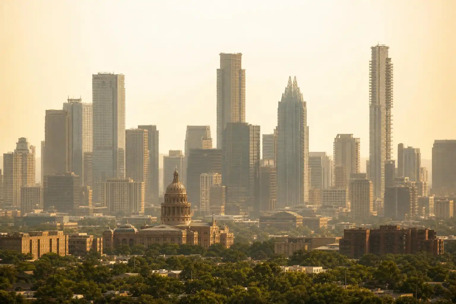

August in Central Texas is rarely kind, but this week it’s delivering a particularly stubborn combination: searing heat, creeping drought, oppressive humidity, and — if you’ve been sneezing more than usual — the first whispers of fall elm pollen season. And looming over all of it is a developing weather story that could reshape our fall and winter in a way we haven’t seen in generations.
Let’s break it all down.
The Heat Is Not Done With Us
If you were hoping for a cool reprieve this week, I’m sorry to disappoint. Afternoon highs across the Austin metro will range from the upper 90s to near 100°F, with Camp Mabry — Austin’s primary climate observation site — hovering right at that triple-digit threshold.[4] The modest uptick in low-level moisture won’t do us any favors in terms of actual cooling — instead, it’ll push heat index values to between 105°F and 108°F through midweek, keeping us right at the edge of National Weather Service heat advisory criteria.[2]
The NWS HeatRisk map classifies Central Texas’s current heat risk as moderate to major — meaning that anyone spending extended time outdoors, particularly those without reliable air conditioning or adequate hydration, faces real risk of heat exhaustion or heatstroke.[2] This isn’t the kind of warning you scroll past. If you’re working outside, schedule it for early morning, bring more water than you think you need, and take shade breaks seriously.
Overnight temperatures are offering little relief either. At 1:00 AM in the Austin area, readings are still sitting around 80°F, with humidity at 79% and dew points that make the air feel thick and suffocating even in the dead of night.[7] For folks without AC, these overnight conditions are genuinely dangerous.
To put this week in historical context: so far in 2026, Austin has logged 10 days of triple-digit temperatures at Camp Mabry. Compare that to 2022’s brutal 68 days at or above 100°F, or 2023’s record-smashing 80 days. Our average date for the last 100-degree day of the year is August 30 — but recent summers have pushed that threshold well into September and even early October, so don’t let your guard down just yet.[4]
A “Rain Desert” With a Side of Wildfire Risk
It has been roughly two weeks since Camp Mabry recorded measurable rainfall, and the forecast offers little comfort. The Climate Prediction Center’s long-range models continue to favor better rain chances across North and West Texas, while Central Texas remains marooned in what meteorologists are informally calling a “rain desert” for at least the next six to fourteen days.[4]
Yes, there’s a 10%–20% chance of afternoon thunderstorms through the weekend — but any moisture will be confined mainly to the Coastal Plains east of Interstate 35. If you live in Austin, Round Rock, San Marcos, or the Hill Country, don’t count on it.[4]
The U.S. Drought Monitor and the Texas A&M Forest Service’s wildfire outlook both reflect deteriorating conditions, particularly across North Texas and the Panhandle. Locally, about 64% of Travis County remains in moderate drought, while Williamson County and the Hill Country west of I-35 remain largely drought-free thanks to a wet spring and early-summer rainfall. Because of that recent wet weather, wildfire risk remains low locally, though a significant wildfire threat persists across parts of North Texas and the Panhandle.
Something Unexpected: Fall Elm Season Has Arrived
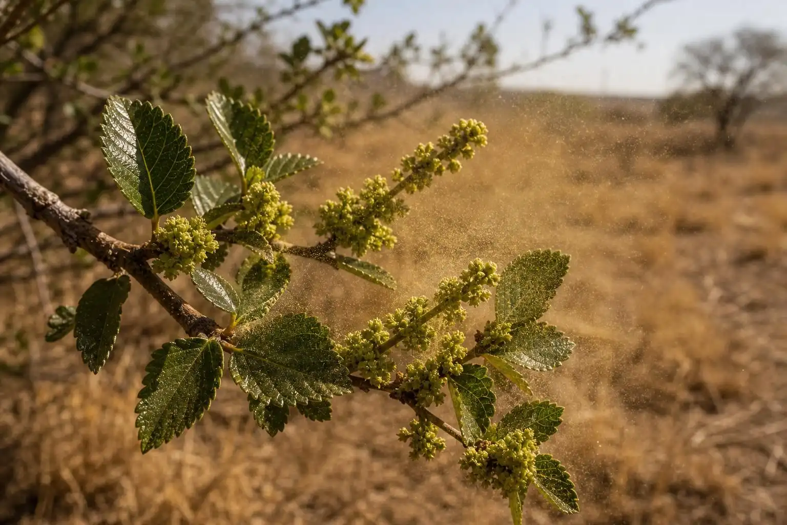
Here’s a curveball for you: while we’re still firmly in the grip of summer heat, fall elm pollen season is already beginning in Central Texas.[1] That’s right — our cedar elms, which are uniquely adapted to this region, begin their fall pollination cycle in late July and early August, well ahead of the calendar autumn. If you’ve noticed increased sneezing, itchy eyes, or a scratchy throat over the past few days and can’t figure out why, elm pollen is likely the culprit.
This is one of those only-in-Central-Texas quirks that catches newcomers completely off guard. Most of the country associates fall allergies with ragweed, and while ragweed is certainly present here, the cedar elm is our region’s signature late-summer allergen. Allergy sufferers should check local pollen counts daily and consider keeping windows closed during peak pollen hours — typically mid-morning through early afternoon.
The Big Story Brewing: A Potentially Historic El Niño
Now for the headline that has meteorologists across the state paying close attention. New forecasts indicate that the current El Niño event — already in progress — is expected not just to persist through fall and winter, but to potentially become one of the strongest El Niño events in recorded history.[3]
Before you panic, let’s put this in proper context for Central Texas specifically.
El Niño typically brings above-average rainfall to Texas during fall and winter, but the relationship is more nuanced than a simple “more rain” guarantee. Looking at recent strong El Niño years: 2015 was one of the wettest years on record for Austin, but the bulk of that rain fell in May and October — outside the traditional El Niño wet season window of November through February, which actually came in below average.[3] In other words, El Niño doesn’t follow a simple script.
What we can say with reasonable confidence: if this event strengthens as forecast models suggest, Central Texas has a better-than-average chance of above-normal rainfall sometime between October and February. That would be welcome news for our drought-stressed aquifers, the Edwards Plateau, and the Highland Lakes system. But the timing, distribution, and intensity of that rainfall remain deeply uncertain — and a supercharged El Niño also raises the specter of extreme rainfall events and flooding, a threat Central Texas knows all too well after the devastating Kerr County floods earlier this summer.
I’ll be tracking this story closely in the weeks ahead. The ENSO forecast will be updated again later this month, and that data will help sharpen our outlook for fall.
The Saharan Dust Factor
One more ingredient in this week’s atmospheric soup: Saharan dust. Plumes of mineral dust from North Africa — traveling roughly 6,000 miles across the Atlantic — are drifting over Texas, giving Austin skies a hazy, washed-out appearance and producing those vivid orange-pink sunrises and sunsets that have been lighting up social media feeds.[2] The dust layer floats approximately 10,000 feet above the surface and can aggravate allergies and asthma; it is contributing to the haze, while the week’s heat and humidity come from the broader August weather pattern.
For most people, the dust is a visual spectacle. For those with asthma, respiratory conditions, or sensitive eyes, it’s a genuine irritant — and combined with elm pollen, this week’s air quality picture is worth monitoring closely. The MSN Weather air quality index for the Austin area is currently showing Good (AQI 46, primary pollutant PM2.5 at 1.3 μg/m³),[7] but that can shift as dust concentrations change throughout the day.
Your Week at a Glance
| Day | High | Feels Like | Rain Chance |
|---|---|---|---|
| Monday–Wednesday | 98–100°F | 105–108°F | <10% |
| Thursday–Friday | 96–99°F | 101–105°F | 10–20% (east of I-35) |
| Weekend | 96–98°F | 100–104°F | 10–20% (east of I-35) |
Bottom line for the week: Stay hydrated, limit outdoor exertion to early morning hours, check on elderly neighbors and pets, and keep an eye on pollen counts if you have allergies. Rain is not coming to save us this week — but the longer-range story of a potentially historic El Niño means the fall outlook is one worth watching carefully.
As always, I’ll be back next week with updated data, and I’ll have more on what that strengthening El Niño signal means for our drought situation heading into September. Stay cool out there, Central Texas.
References
- Fall elm season is starting in Central Texas — KXAN — https://www.kxan.com/weather/weather-blog/fall-elm-season-is-starting-in-central-texas
- Can you handle the heat? Temperatures and humidity increase across Central Texas Wednesday — Austin American-Statesman — https://www.statesman.com/weather/article/austin-texas-weather-forecast-summer-heat-humidity-22373453.php
- Strongest El Niño in decades possible later this year: What it means for Texas — CBS Austin — https://cbsaustin.com/news/local/strongest-el-nino-in-decades-possible-later-this-year-what-it-means-for-texas
- Austin weather: What you need to know about our drought, wildfire risk — Austin American-Statesman — https://www.statesman.com/weather/article/austin-forecast-weekend-drought-wildfire-risk-22377824.php
- Windsor Hills, Austin, TX Weather Forecast — MSN Weather — https://www.msn.com/en-us/weather/forecast/in-Windsor-Hills%2C-Austin,TX


Leave a Reply