

The Halloween rain chances have passed, but Central Texas has another weather change to watch. Sunday, November 1, looks warm and largely dry around Austin. The more consequential forecast is for late Monday night into Tuesday morning, when a cold front could bring scattered thunderstorms before cooler air settles in.[6]
Sunday: A Good Day to Be Outside
Expect a mix of sun and clouds, with Austin temperatures climbing into the lower to middle 80s. That is warmer than many of us hope for from the first day of November, but Sunday is the quieter half of this forecast. A forecast published ahead of the weekend also called for a dry Sunday, with morning lows in the lower 60s.[6][2]
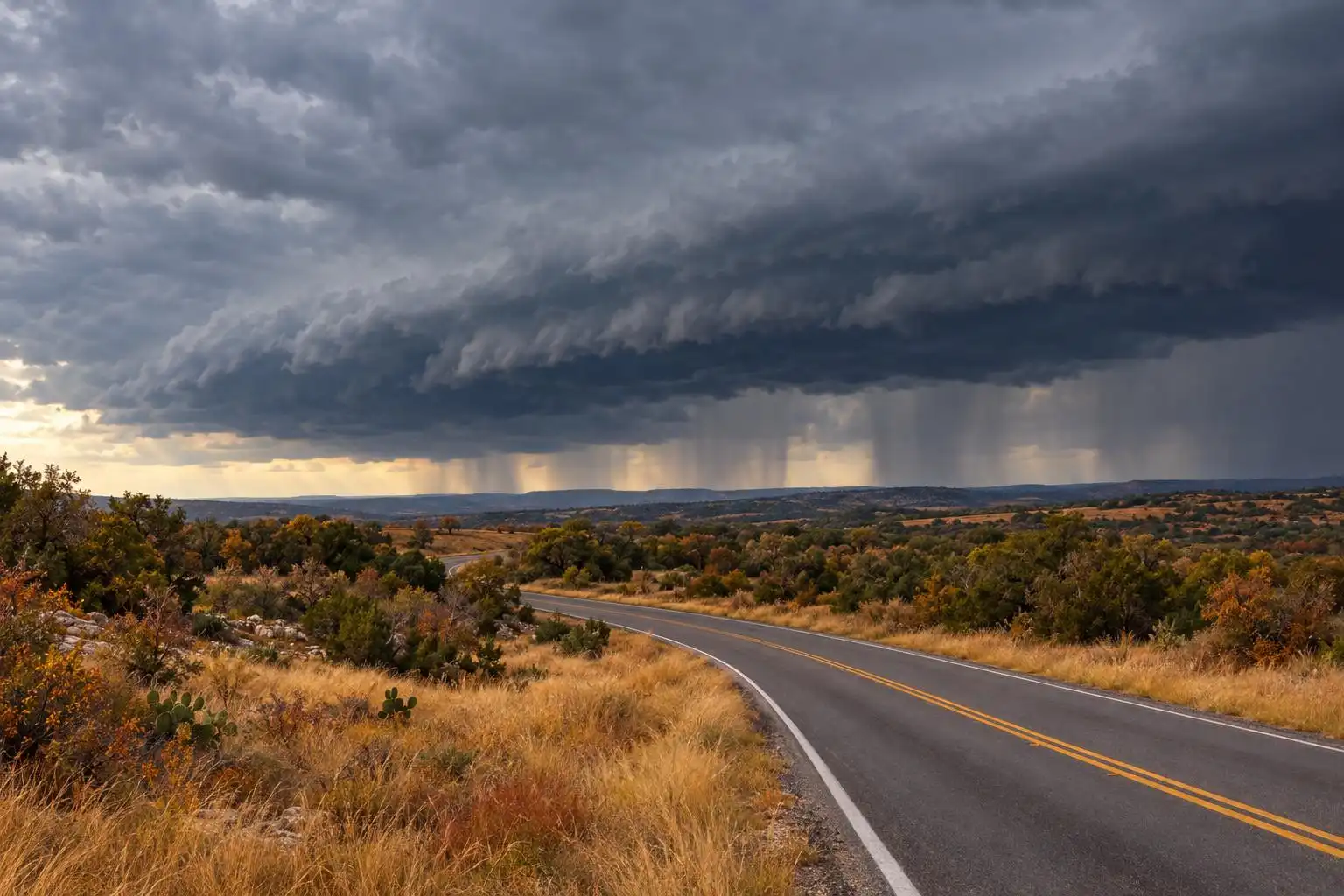
Monday stays warm as the front approaches from the northwest. Clouds may give way to some afternoon sun, allowing highs to reach the 80s again. If you have outdoor work to do in Austin, Round Rock or San Marcos, Sunday and most of Monday offer the better window before storm chances increase overnight.[6]
Why Tuesday Morning Could Turn Stormy
A cold front is expected to move through Central Texas late Monday night into early Tuesday. Ahead of it, warm air can rise along the advancing boundary and help scattered showers and thunderstorms develop. That timing makes the Tuesday morning commute—and Election Day voting plans—the period to watch, even though storms are not guaranteed at every address.[6]
KXAN reports that the Storm Prediction Center places most of Central Texas in a Level 1 out of 5 severe-weather risk for Monday night into early Tuesday. That is the lowest level on the five-step scale, not a prediction of widespread damage. A few storms could nevertheless produce damaging wind gusts or large hail. Check the latest forecast before bed Monday and make sure your phone can receive weather alerts overnight.[6]
Plan Around the Front, Not Just the Rain Icon
Storms are forecast to be mainly a morning concern Tuesday, with drier conditions expected during the second half of the day. If you are traveling to a polling place early, allow time to check for warnings and any flooded roads. Never drive through water covering a roadway; a brief downpour can create a hazard even where the day’s overall rainfall is modest.[6]
After the front, Austin-area highs are forecast to fall back into the 70s for the rest of the workweek. That is a noticeable change from Sunday’s 80s, though the size of the drop will depend on when the front clears your neighborhood. For the latest storm timing and any warnings, use updates from the National Weather Service Austin/San Antonio office as Tuesday approaches.[6]
What About the Drought?
Rain would be welcome, but this forecast does not yet establish how much will fall at any particular location. An earlier U.S. Drought Monitor update, reported by the Austin American-Statesman, classified all of Travis County in drought, ranging from moderate to severe. Scattered storms can leave one neighborhood wet and another nearly untouched, so it is too soon to call Tuesday a drought-breaking rain.[7]
For now, the practical takeaway is straightforward: enjoy the warm, mostly dry start to the week, then keep an eye on overnight alerts and Tuesday morning travel conditions. The front should deliver a cooler finish to the workweek, whether or not your rain gauge catches much water.[6]
References
- Austin weather: Will tropical moisture from Vance mean rain in Austin? — https://www.statesman.com/weather/article/austin-weather-tropical-heavy-rainfall-chances-22498804.php
- KXAN Austin Weather: Warm Sunday, but watching storms early on Election Day — https://www.kxan.com/weather/forecast/a-drier-halloween-weekend-with-foggy-mornings
- Austin weather: Dry Sunday before rain chances increase next week — https://www.statesman.com/weather/article/austin-weather-texas-rain-chances-increase-22489809.php


Leave a Reply
You must be logged in to post a comment.