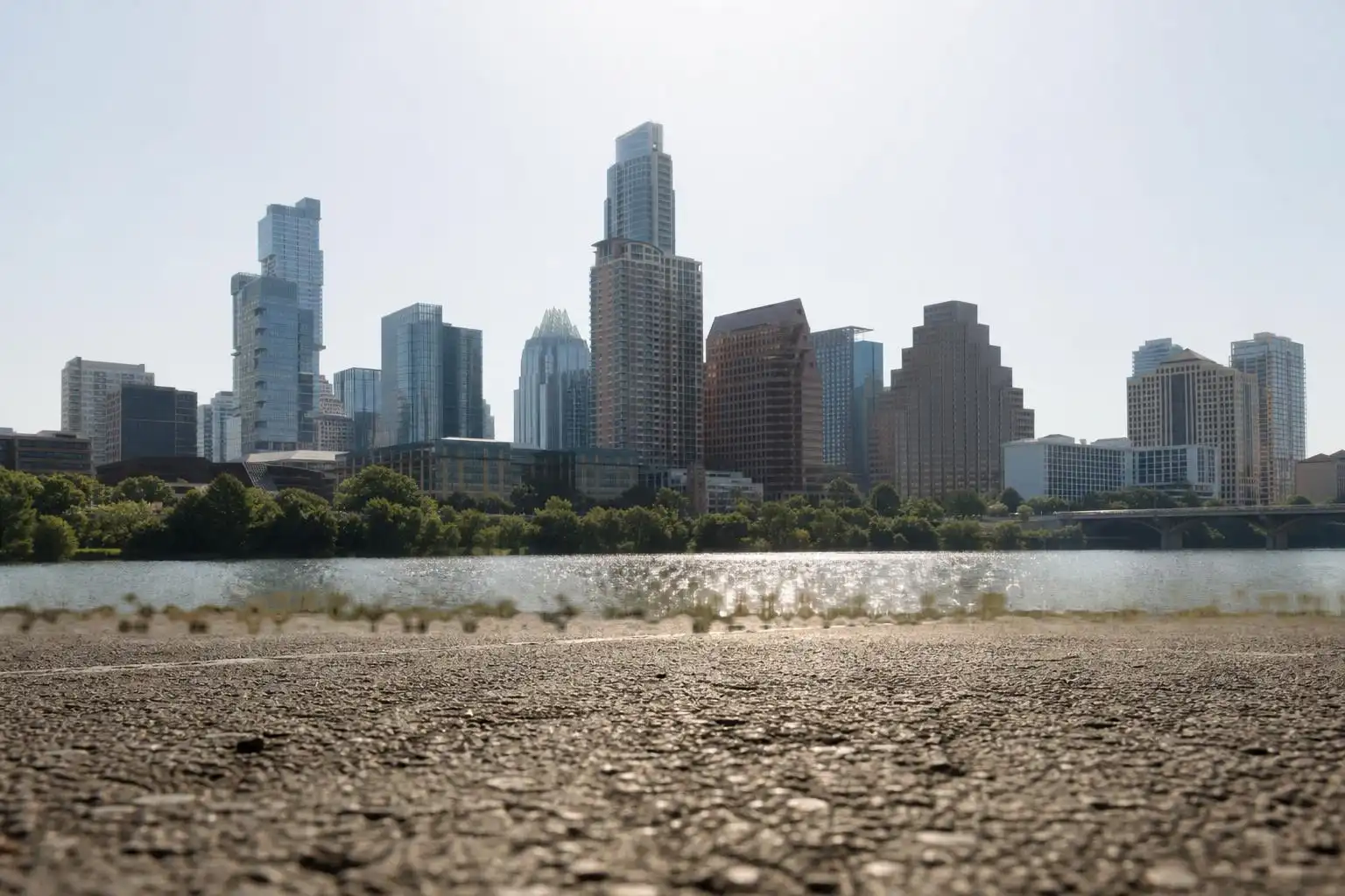

If you stepped outside this past weekend and felt like the air itself was fighting you, you weren’t imagining it. Central Texas is deep in the thick of what climatologists call the “dog days” — and this year, the dogs have teeth.
The Heat Dome Explained
The culprit behind our misery is a subtropical ridge of high atmospheric pressure that has been camped over the desert Southwest near the Four Corners region. Think of it as a giant invisible lid on a pot: it traps hot air near the surface, suppresses any storm-forming lift, and essentially bakes everything underneath it. This week, that lid is sliding east toward the western Gulf Coast, and as it does, it’s dragging its worst effects right across our backyard.[1]
To make matters worse, a separate high-pressure system parked over the Gulf of Mexico is acting like a bellows, pumping moisture-rich tropical air into Central Texas from the south-southeast.[4] The result is a double-punch of heat and humidity that makes the numbers on your thermometer feel like an understatement.
This Week’s Forecast, Day by Day
The Sunday leading into this Aug. 10–16 stretch brought highs near 99°F at Camp Mabry — Austin’s official climate observation site — but south-southeast winds off the Gulf pushed heat index values to around 107°F. Overnight lows only dropped to about 77°F, which means your body never really got a chance to recover.[4]
Monday and Tuesday brought the mercury up another notch, with forecast highs ranging from 99°F to 101°F. With Gulf humidity factored in, that “feels like” temperature climbs to 105°F or hotter — and that’s not just uncomfortable, it’s medically significant.[2]
Wednesday is the day to watch most carefully. As the heat dome centers itself directly over Texas, temperatures are expected to peak around 102°F to 103°F. Combined with humidity, heat index values could easily hit 108°F or higher — the threshold that triggers National Weather Service heat advisories. The areas most at risk are those along and east of Interstate 35, where Gulf moisture concentrates.[2] If you have outdoor obligations on Wednesday, morning hours before 10 a.m. are your safest window.
Thursday and Friday offered some relative relief compared with Wednesday’s peak. For that midweek period, the outlook called for humidity to ease a little, with dew points in the 60s Thursday afternoon and temperatures dipping back into the upper 90s, keeping the area outside heat advisory criteria.[2] Looking beyond this Aug. 10–16 stretch, KXAN’s Aug. 14 7-day forecast showed another run of highs near 102°F to 103°F the following week,[5] and the LCRA’s extended outlook echoed this, projecting highs of 99°F to 103°F across Austin and Central Texas through the following Friday, with the Hill Country running slightly cooler at 98°F to 100°F.[3]
Rain chances? Don’t hold your breath. There is a slim — less than 20% — probability of a few spotty showers along and east of I-35 on Friday as a pulse of tropical moisture tries to push inland. But the dominant sinking air from the heat dome will suppress most of it before it can amount to anything. If we do see rain, expect less than a quarter inch.[3]
The Bigger Picture: A Record-Shattering Summer
Here’s the stat that should stop you in your tracks: July 2026 was the hottest month ever recorded for the contiguous United States, with an average temperature of 76.9°F — more than 3°F above the 20th-century average and roughly 0.1°F to 0.2°F warmer than the previous July records.[2] That’s not a rounding error. That’s a seismic shift in our baseline climate.
Locally, heading into the weekend before this stretch, Austin had already logged 11 days of triple-digit heat at Camp Mabry in 2026.[4] With the forecast calling for 102°F to 103°F days through at least mid-week, that count is going to climb significantly. The first two weeks of August are historically Austin’s hottest, with an average high of 99°F — so this pattern isn’t unusual in isolation, but the magnitude and persistence of this heat dome, set against the backdrop of that record-breaking July, puts it in a different category.[1]
A Silver Lining in the Night Sky
Here’s something worth setting an alarm for: the Perseid meteor shower is peaking right now, and despite our heat, the sky conditions are cooperating — at least partially. For the Austin area, mostly clear skies are expected between midnight and 3 a.m., giving you a genuine window to catch some shooting stars before clouds begin to develop in the pre-dawn hours.[7] Head somewhere dark — the Hill Country west of Austin is ideal — bring water, lay out a blanket, and look northeast. The Perseids can produce 50 to 100 meteors per hour at peak. It’s also, frankly, one of the few reasons to be outside at 1 a.m. in August in Central Texas.
Where to Find Relief
The heat is real and it demands respect, but you don’t have to spend the entire week sealed inside with your AC cranked to 68°F. Central Texas has some genuinely excellent options:
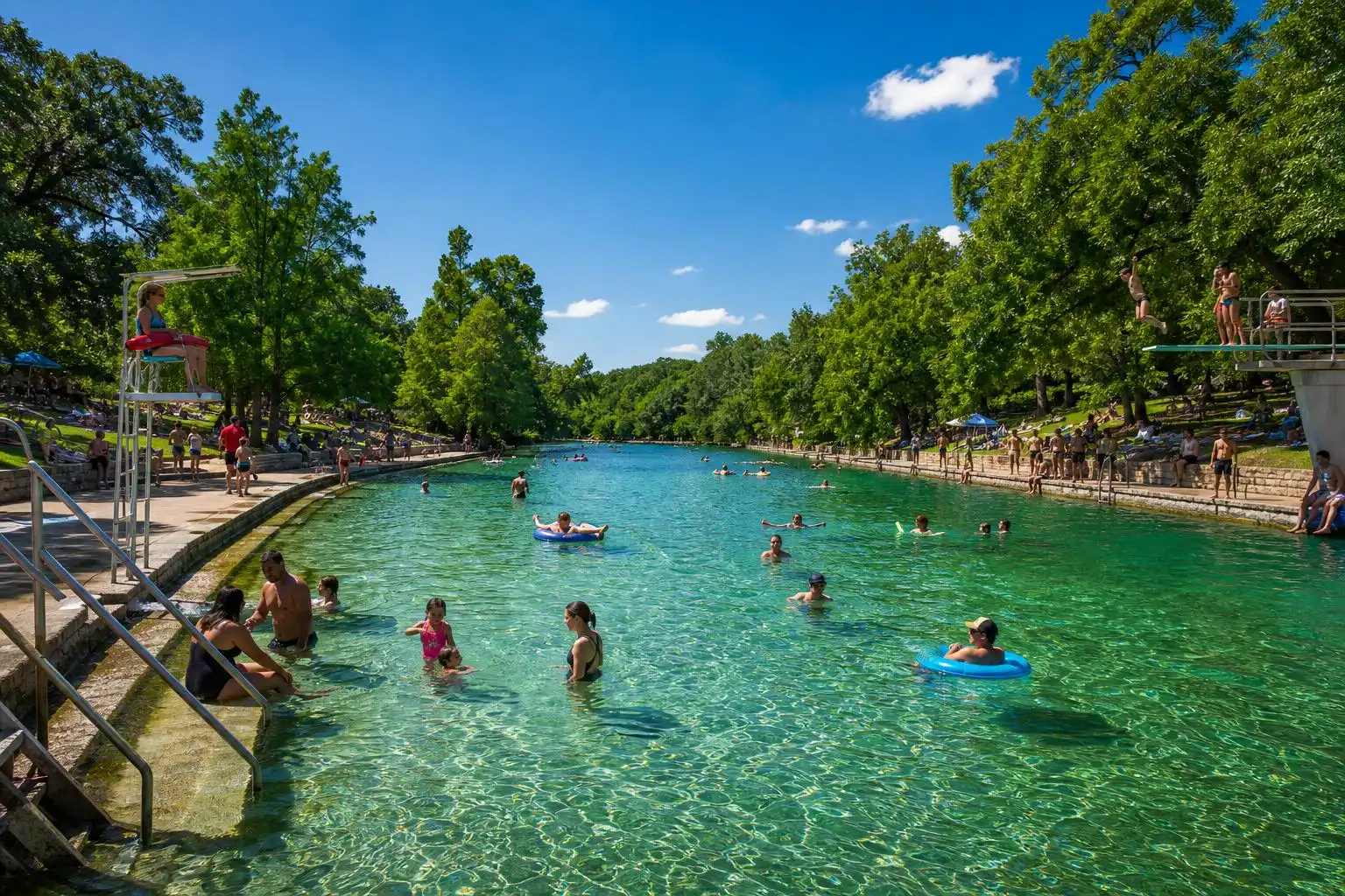
- Barton Springs Pool — Fed by the Edwards Aquifer, it holds a steady 68°F to 70°F year-round. That’s not a typo. It’s cold, it’s glorious, and it’s the single best antidote to a 103°F afternoon in Austin.[1]
- Deep Eddy Pool — Spring-fed from the banks of the Colorado River, it maintains around 70°F and is a slightly less crowded alternative to Barton Springs.[1]
- Barton Creek Greenbelt — If you want to earn your swim, hike down to Gus-Fruh, Twin Falls, or Sculpture Falls. Go early — by 8 a.m. — before the trail heats up.[1]
Your Heat Safety Checklist
The NWS heat advisory threshold of a 108°F heat index is not an abstract number — it’s the point at which heat stroke risk rises sharply, especially for the elderly, children, outdoor workers, and anyone without reliable air conditioning. Here’s what I want you to take away from this week’s column:
- Hydrate before you’re thirsty. By the time you feel thirsty in 103°F heat, you’re already mildly dehydrated.
- Check on neighbors. Heat kills quietly. A wellness check on an elderly or isolated neighbor takes five minutes and could save a life.
- Never leave children or pets in parked cars. On a 103°F day, a car interior can reach 140°F in under 20 minutes.
- Plan outdoor work for before 10 a.m. or after 7 p.m. The heat index peaks in the mid-afternoon window of 2–5 p.m.
- Watch for heat advisory alerts from NWS Austin/San Antonio. Wednesday is the highest-risk day this week — have your plans adjusted before then.
The light at the end of this particular tunnel is real: average highs historically ease back toward 95°F by the end of August.[2] We’re not there yet, but we’re closer than we were a month ago. Stay cool, stay hydrated, and I’ll see you on the other side of this heat dome.
References
- Austin is in its hottest stretch with the most 100-degree days. How does this summer compare? — https://www.statesman.com/weather/article/austin-weather-hottest-stretch-100-degree-days-22381608.php
- Central Texas set for a stretch of 100-degree days. How hot will Tuesday get? — https://www.yahoo.com/news/weather-news/articles/central-texas-set-stretch-100-110000220.html
- The Weather Pattern will Remain Hot and Dry for the Next Couple of Weeks — LCRA — https://www.lcra.org/the-weather-pattern-will-remain-and-hot-dry-for-the-next-couple-of-weeks
- More 100-degree days for Austin? Here’s what’s coming this week. — https://www.statesman.com/weather/article/austin-forecast-sunday-heat-humidity-100-degrees-22379301.php
- Temperatures, rain totals, severe storms: Explore Austin’s 2026 weather data — KXAN Austin — https://www.kxan.com/weather/austin-2026-weather-data
- Perseid meteor shower is about to peak: Is it visible in Texas? — https://www.expressnews.com/san-antonio-weather/article/perseid-texas-shower-meteor-clouds-weather-22383467.php


Leave a Reply