
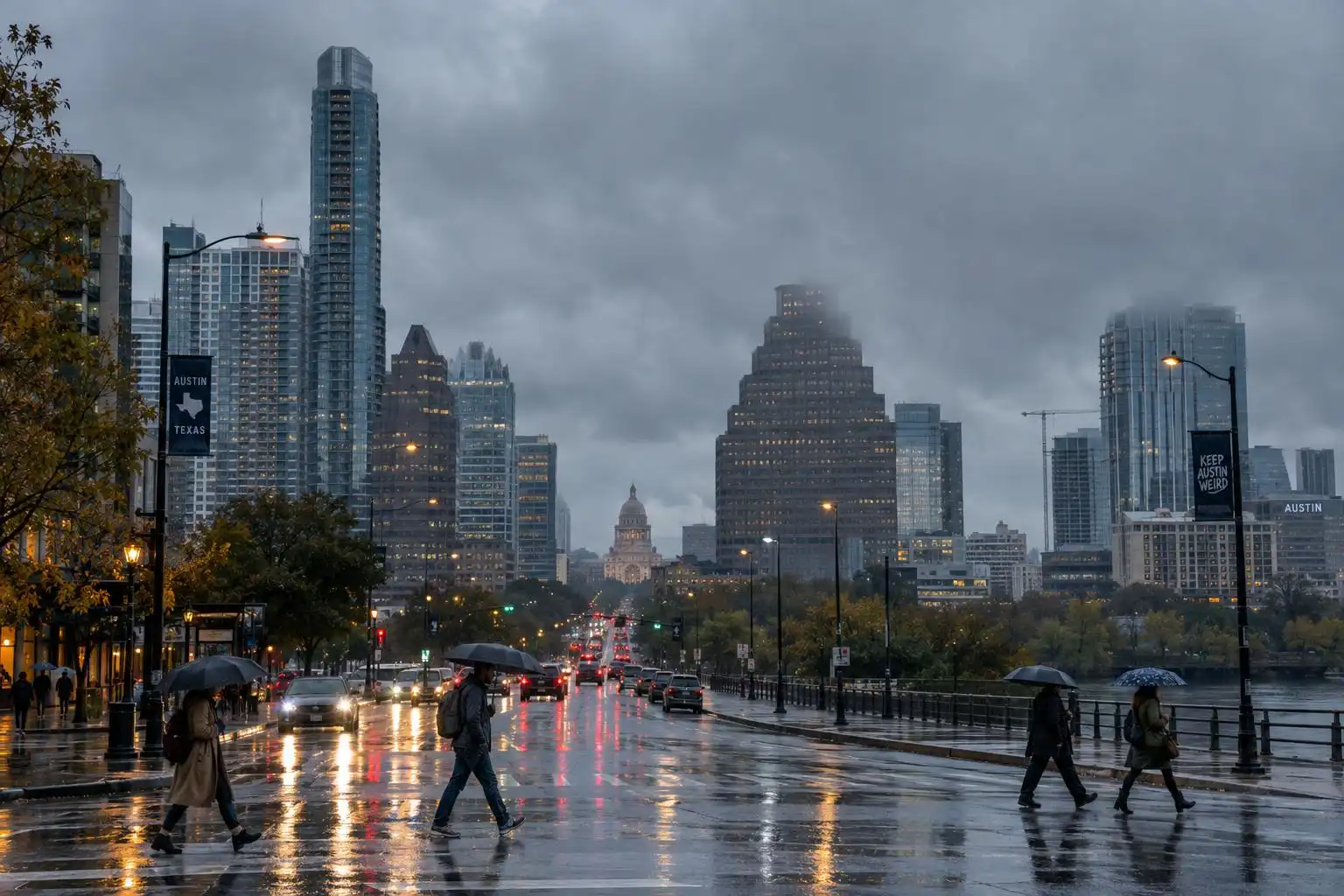

If you woke up Sunday, November 15, to steady rain and a sky the color of wet limestone, you’re seeing the main event of this weekend’s weather. Rain chances increased Saturday evening, with the heaviest showers and thunderstorms expected Sunday morning, according to FOX 7 Austin.[2]
How long will Sunday’s rain last?
Plan for a damp day across Austin, Round Rock, San Marcos and the surrounding Hill Country. Most rain should be light, but embedded thunderstorms could produce a heavier burst, particularly around the Austin metro and points south. The Austin American-Statesman reports a 70% to 90% chance of rain Sunday, with showers most likely to ease Sunday evening.[4][1]
Clouds and rain will keep Sunday chilly: highs will struggle to reach the mid-50s in Austin, with lows dropping into the 40s Sunday night. That’s jacket-and-raincoat weather rather than the warm November afternoon we had earlier in the week. Forecasts issued before the rain arrived varied on Sunday’s high, so treat the mid-50s as a useful guide, not a guarantee for every neighborhood.[2]
Why the flood risk deserves attention
An upper-level disturbance moving out of Mexico, paired with low pressure near the Texas Gulf Coast, is helping draw moisture into the region. That setup can keep showers going for hours and occasionally concentrate rainfall beneath a thunderstorm. The heaviest rain and active flash flood warnings reported Sunday are farther south in Texas, not across the entire Austin area.[4][1]
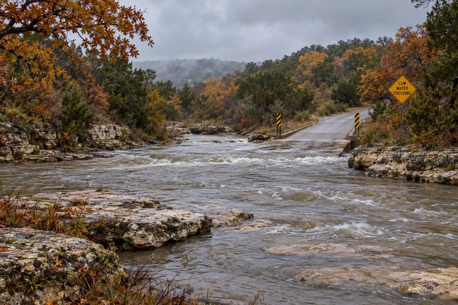
The Statesman, citing National Weather Service rainfall guidance, reports a likely 0.75 to 2 inches across Central Texas through early Tuesday, while isolated 3-to-5-inch totals are possible along the Rio Grande and in South Texas. Those higher numbers are not an Austin-wide forecast. Still, a brief downpour can make a low-water crossing dangerous before the rest of town looks especially wet.[4]
If your Sunday drive takes you across a creek crossing west or south of Austin, check current warnings and road conditions before leaving. Never drive into water covering the road: you cannot tell how deep it is, or whether the pavement beneath it is intact.
Monday lingers; Tuesday looks brighter
The system should be slow to clear. Expect lingering scattered showers Monday, plenty of cloud cover and temperatures in the lower to mid-60s. Keep the umbrella handy for the Monday commute, even if Sunday night brings a break in the rain.[4][1]
By Tuesday, the forecast turns drier and sunnier, with afternoon highs returning to the 70s. That is the better window for an outdoor errand or a walk after a wet start to the week. FOX 7 expects the milder pattern to continue, although another forecast flags a possible rain-making system Thursday or Friday. It’s too early to treat either a completely dry late week or a definite second round of rain as settled.[1][5]
The takeaway for Central Texas
Sunday is a day to leave extra travel time, watch for changing conditions near creeks and enjoy the excuse to stay indoors. Monday may still be gray and showery, but Tuesday offers a credible break. If you have plans later in the week, check an updated National Weather Service forecast rather than relying on today’s uncertain Thursday–Friday outlook.
References
- Austin weather: Sunday rain and flood risk | FOX 7 Austin — https://www.fox7austin.com/weather/austin-weather-sunday-rain-flood-risk
- Saturday starts cold, soggy weekend for Austin area | FOX 7 Austin — https://www.fox7austin.com/weather/austin-weather-stormy-weather-expected-central-texas-weekend
- Austin weather: More rain and storms Sunday. When will it move out? — https://www.statesman.com/weather/article/austin-weather-rain-storms-sunday-timeline-22516787.php
- Two Storm Systems This Weekend: Rain, Chill and Coastal Storms | Texas Weather Roundup — https://texasstormchasers.com/forecast/two-storm-systems-this-weekend-rain-chill-and-coastal-storms-texas-weather-roundup


Leave a Reply
You must be logged in to post a comment.