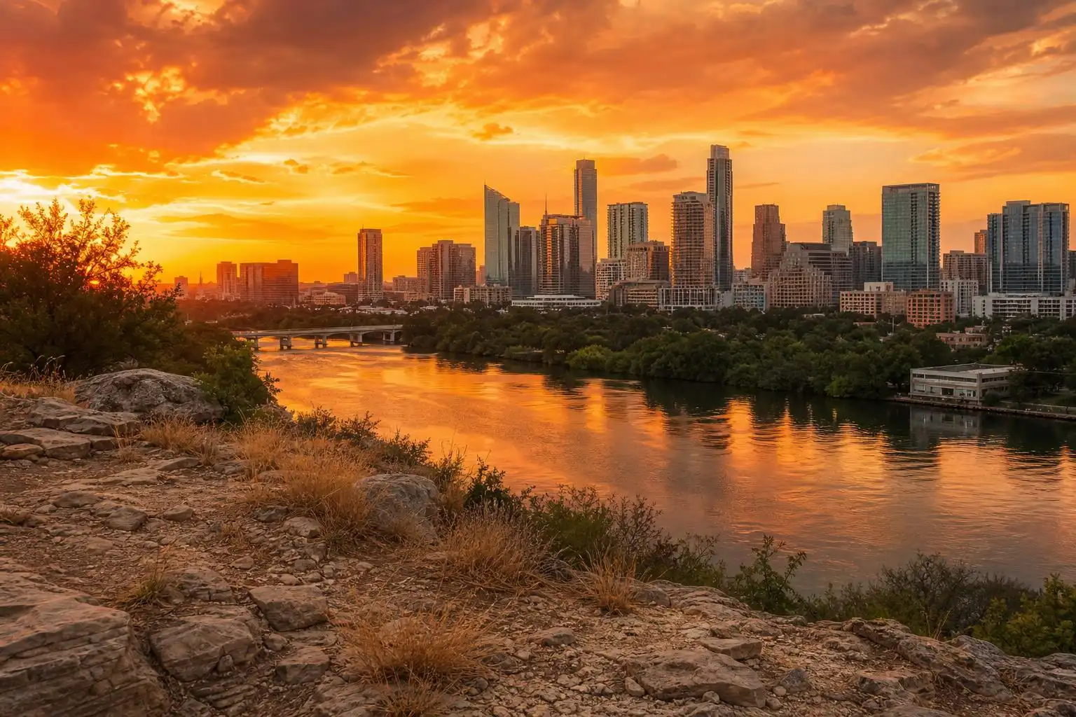

If you feel like you’ve been having the same conversation about the weather for weeks now, you’re not imagining it. Central Texas is still locked under the same stubborn ridge of high pressure that’s been squatting over the southern Plains, and as we approach the astronomical end of summer on Monday, September 21, it’s showing only the faintest signs of budging.[5]
Another Milestone Nobody Wanted
Austin logged its 44th triple-digit day of the year over the weekend, with heat index values climbing as high as 110 degrees thanks to humidity that’s made the air feel like a sauna.[1] That’s not a typo — 44 separate days this year where the thermometer at Camp Mabry or Austin-Bergstrom has crossed 100 degrees, a number that puts 2026 firmly in the conversation with the region’s most brutal summers on record. Heat advisories have been in near-constant rotation, and forecasters have repeatedly noted that the combination of high humidity and blazing sun is doing more damage to how the air actually feels than the raw temperature reading alone.
Sunday brought highs in the 100 to 102 degree range with heat index values near 108, and the misery wasn’t unique to the I-35 corridor — triple-digit heat stretched from the Rio Grande Valley clear up through the Texas Panhandle, meaning there was essentially no cooler air anywhere nearby to pull in.[3] When the entire state is baking under the same dome, there’s nowhere for relief to come from except a genuine pattern change, and that’s exactly what we’ve been waiting on.
A Brief, Modest Dip — Then Back to the Grind
There was a small bit of good news midweek: temperatures were forecast to dip below 100 degrees for the first time in about ten days, thanks to increased cloud cover and a slight chance of afternoon thunderstorms.[2] I want to be clear about what that dip actually means, though — “below 100” in this stretch has mostly meant upper 90s with plenty of humidity, not a real cold front. A ridge of high pressure has continued to dominate through the weekend, pushing most shower activity away from Central Texas and limiting rain chances to isolated, coastal-fed showers that occasionally sneak inland near the I-35 corridor.[3]
A weak atmospheric disturbance did move through on Friday, bringing an isolated rain chance mainly for areas south of Austin, but it was nowhere close to the widespread soaking this region desperately needs.[5] The upper-level ridge responsible for all of this has been centered between northeast Texas and the lower Mississippi Valley, and it’s expected to shift westward into more of Central Texas through the weekend — which, translated into plain English, means our rain chances get shut off right as we hit the last day of summer on the calendar.[5]
The Drought Numbers Keep Getting Worse
Here’s the statistic that should really get your attention: Austin has recorded zero measurable rainfall so far this month at both Camp Mabry and the airport.[5] By this point in a typical September, we’d normally have banked around 2 inches of rain. Every dry day widens that deficit, and it’s compounding a drought picture that was already ugly going into fall.
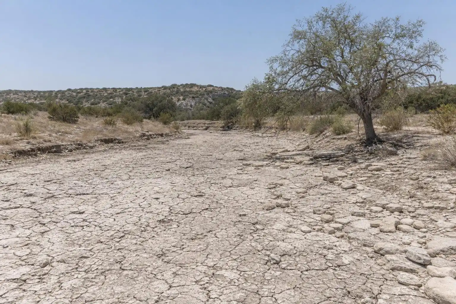
The latest U.S. Drought Monitor data shows nearly 18 million Texans are now living under drought conditions, with 81% of the state’s land area classified as moderate drought or worse.[5] For Hill Country ranchers, Highland Lakes stakeholders, and anyone watching their yard turn to straw, this isn’t an abstract statistic — it’s reflected in low stock tank levels, cracked soil, and a fire risk that climbs every week this pattern persists.
So When Does This Actually Break?
The setup that finally starts to dismantle the heat dome involves two pieces coming together: a disturbance out in the Gulf and a frontal boundary approaching from the west, which forecasters expect to meet up over Texas sometime in the latter half of the weekend.[2] There’s cautious optimism that this could be the system that finally ends the triple-digit stretch for good this year — but stress on “cautious,” because these fine details have shifted before.
Separately, a cold front is expected to push across the southern Plains early in the coming work week before stalling out over North Texas, weakening the high pressure ridge enough to let a real pattern shift take hold.[5] A weak front was forecast to stall over North Texas early this week, keeping Central Texas on the warm side with only increased clouds and low rain chances in the near term — meaning the front’s full effects won’t be felt locally right away.[4]
What to Actually Expect This Week
Rain chances are expected to pick up next week as two separate weather systems affect different parts of Texas, with early indications suggesting rainfall could split unevenly across Central Texas — heavier storm potential to the west, more moderate showers expected east of Austin.[2][5] The 8-to-14-day outlook is hinting at a wetter-than-average pattern shift overall, but until that materializes, plan on persistent heat and humidity with highs lingering near or above the century mark, with only modest relief potentially bringing us into the upper 90s later in the week.[1]
My advice for San Marcos, Round Rock, and Waco readers alike: keep the same heat precautions in place you’ve had all summer. Hydrate well before you’re outside, not just during, and don’t assume a forecasted “cooldown” into the upper 90s means the heat index will feel any less punishing — with humidity this high, 97 degrees can still feel like well over 105. Watch for updated Heat Advisories from the National Weather Service Austin/San Antonio office as this pattern evolves day to day, and don’t put away the drought-tolerant landscaping habits just yet — even if rain arrives next week, it will take a lot more than one storm system to meaningfully dent a deficit this deep.
References
- Central Texas faces sauna-like humidity and triple-digit highs under Heat Advisory | FOX 7 Austin — https://www.fox7austin.com/weather/central-texas-faces-sauna-like-humidity-triple-digit-highs-under-heat-advisory
- Austin weather forecast: Heat persists but a break from it is in sight — https://www.statesman.com/weather/article/austin-weather-hot-temperatures-break-22431462.php
- Texas weather forecast: Could a cold front arrive next weekend? — https://www.statesman.com/weather/article/texas-cold-front-next-weekend-22426202.php
- Austin-Area Weather: September 19 Evening Forecast with Meteorologist Kristin Walla — https://www.kvue.com/video/weather/forecast/austin-area-weather-september-19-evening-forecast-with-meteorologist-kristin-walla/269-ed99bb7c-9207-4b9b-b6dc-6c47f5ac5115
- Austin weather: Heat dome holds as Texas drought worsens — https://www.statesman.com/weather/article/austin-weather-weekend-heat-dome-drought-update-22435232.php


Leave a Reply