

September is nearly over, but the afternoon air along Interstate 35 still feels like summer. Austin is expected to flirt with 100°F again this weekend, while the Hill Country may run a few degrees cooler. The more interesting change is on the horizon: a cold front could bring rain and lower temperatures around the middle of the coming week. It is a chance for relief, not yet a promised soaking.[1][3]
The heat is running past its usual deadline
Austin’s typical late-September high is around 90°F. Forecast highs near 100°F put this stretch roughly 10 degrees above that mark. A ridge of high pressure has helped keep Central Texas hot and largely dry, and Sunday’s returning south-to-southeast winds should make the heat feel stickier. The forecast heat index along the I-35 corridor could reach 102°F to 104°F.[1][3]
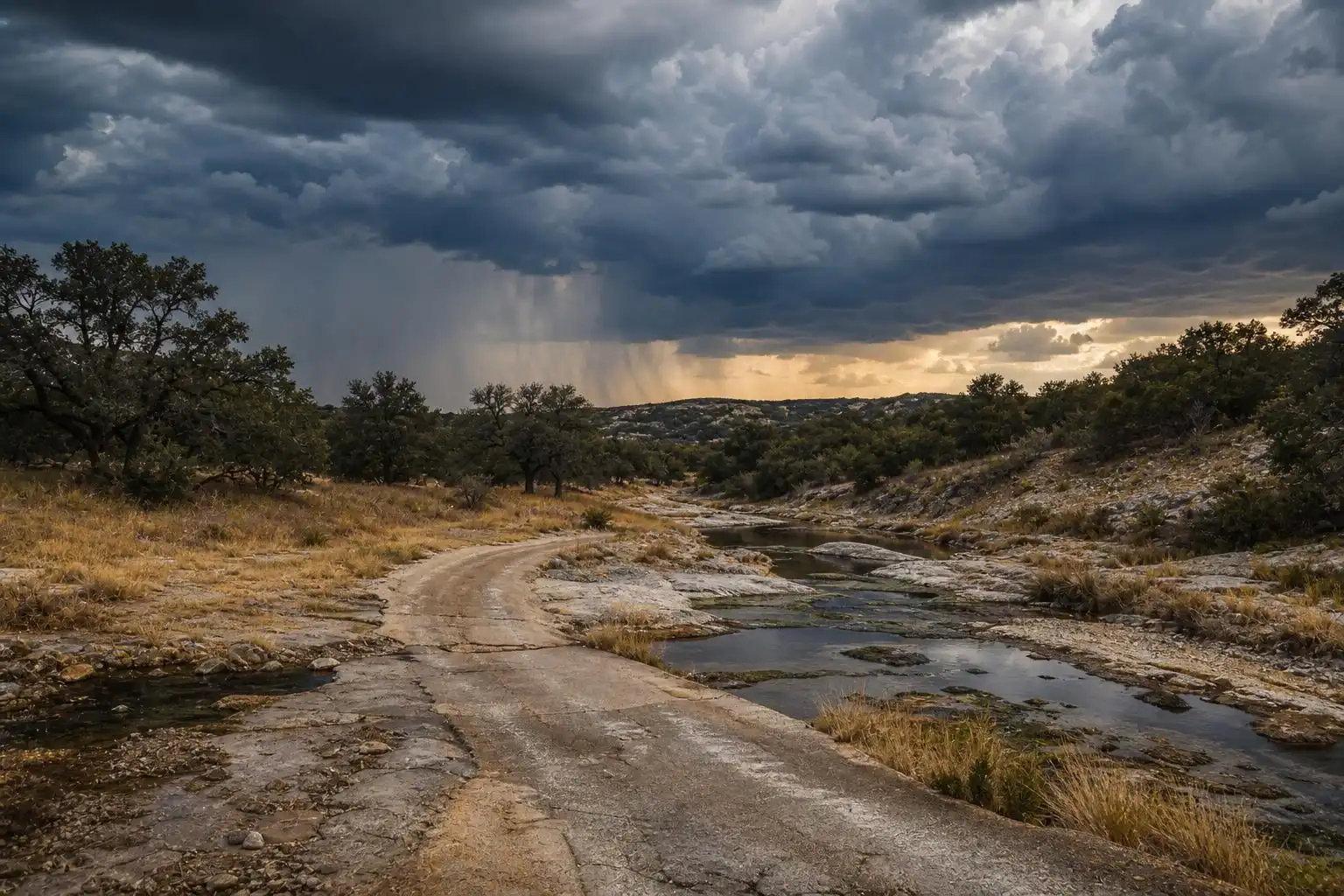
There is a bigger story behind another uncomfortable afternoon. Austin was on pace for its warmest September on record in a late-week assessment—not yet confirmed as having set that record. FOX 7 Austin reported 48 days at or above 100°F for the year and just over a tenth of an inch of September rain as of September 20. Those are dated figures, not updated totals for this Sunday.[1][2]
When the front might change things
The main opportunity for a change appears to be Tuesday, September 29, into Wednesday, September 30. A National Weather Service forecast bulletin quoted by the Austin American-Statesman described a potential for more widespread rain on those days as the season’s first substantial front moves into Texas. That timing is still a forecast, and the front’s speed and the available moisture will matter.[3]
In the forecast published Friday, Austin’s Tuesday high was still projected to reach 98°F ahead of the front, with a 20% chance of daytime showers and storms. The chance rose to 40% Tuesday night. In other words, don’t plan on a cool Tuesday morning: the more noticeable change may wait until rain and the frontal boundary actually arrive.[3]
Rain could help without ending the drought
Some forecast models cited Friday suggested that as much as 2 inches could fall in Austin between Tuesday and Thursday. That is a possible outcome, not a citywide rainfall forecast. Thunderstorms can leave one neighborhood with a useful soaking while another gets much less; a single rainy spell also cannot, by itself, settle how much longer-term drought improves.[3]
If storms do produce intense downpours, keep an eye on low-water crossings—particularly on Hill Country routes west of Austin and along smaller creeks near San Marcos. Dry ground is not a reason to dismiss flood danger: rainfall rate and where a storm stalls matter more to a crossing than how thirsty the landscape looks. Check current radar and any National Weather Service alerts before driving through a storm.[2]
What to do with the forecast
For Sunday outdoor plans in Austin or Round Rock, treat the afternoon as a hot-weather day: shift strenuous work earlier, carry water, and give children and pets a break from the pavement. Then watch the Tuesday-night forecast rather than counting on a particular rain total now. The most useful update will be whether the front reaches Central Texas on schedule—and whether storms develop over your part of it.[1][3]
References
- September on pace to be warmest on record in Austin. Will the heat continue? — https://www.statesman.com/weather/article/austin-weather-forecast-september-record-warmest-22445652.php
- Central Texas tracks 48 triple-digit days as cold front brings rain relief to Austin — https://www.fox7austin.com/weather/central-texas-tracks-48-triple-digit-days-cold-front-brings-rain-relief-austin
- Austin weather: Rainy cold front next week. Will it ease our drought? — https://www.statesman.com/weather/article/austin-texas-weather-friday-cold-front-next-week-22445946.php?taid=6ab6492ba627190001d5f00a


Leave a Reply