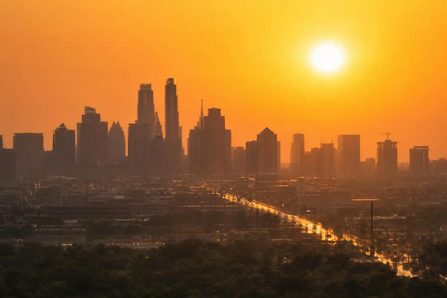

If you’ve been waiting for that first real whiff of fall, I’ve got some tough love for you this week: keep waiting. Nearly two weeks into September, Central Texas remains stuck in a stubborn loop of triple-digit afternoons, oppressive humidity, and rain chances that keep evaporating before they ever amount to anything. Austin topped out at 102 degrees over Labor Day weekend, a full eight degrees above the seasonal average high of 94[1], and as I write this, the extended forecast shows almost no daylight between now and next weekend where we dip back into the 90s for good.
The Heat Just Won’t Break
Let’s start with the numbers, because they tell the story better than adjectives ever could. Austin’s high of 102 on Saturday of Labor Day weekend was well shy of the city’s all-time record of 112, but it still underscored the dangerous heat across the metro[1]. By the following Sunday, heat index values — what meteorologists call the “feels like” temperature — were forecast to climb into the 109-degree range by early afternoon, driven by dew points sitting in the low 70s[2]. That’s not a typo. When the air itself is holding that much moisture, your body’s evaporative cooling system essentially stops working efficiently, which is exactly why heat index readings that high can prompt the National Weather Service to issue a heat advisory even when the raw thermometer reading “only” says 98 or 99.
The culprit behind all that mugginess is a persistent flow of Gulf moisture riding in on south and southeast winds at 5 to 10 mph, day after day[1]. A trough of low pressure that pushed off the Gulf Coast added a secondary wave of mid-level moisture into the mix, which is part of why our humidity has felt more like late July than early September[2]. Overnight lows have offered little relief, staying above 77 degrees in Austin proper, while outlying towns like Bastrop and Georgetown wake up in the low 80s and even normally cooler spots like Llano and Fredericksburg have only been dipping into the low 70s[1].
A Tease of Rain, Then Nothing
Each week seems to bring the same script: a slight uptick in rain chances that fizzles into scattered, hit-or-miss showers covering maybe a quarter of the region at best. Around Labor Day, forecasters pegged rain odds at just 10 to 20 percent on any given day, with totals — for the lucky few who saw anything at all — staying under a quarter inch[2]. The following week wasn’t much better. A weak disturbance lingering over the Coastal Plains, paired with a stalled frontal boundary well up in North Texas, offered Central Texas a 10 to 25 percent shot at some Friday afternoon showers before dry weather reasserted itself for the weekend[3].
That Friday setup did produce a legitimately hot, sticky morning-into-afternoon transition worth noting for anyone who thinks the muggy stretch is just an afternoon phenomenon: lows in the upper 70s gave way to a heat index near 100 by 11 a.m., and by peak afternoon heat, temperatures topping 100 degrees combined with dew points above 70 to push the heat index to 104 or 105[3]. That’s roughly four to five degrees of “extra” heat stress layered on top of whatever the thermometer says, which matters enormously if you’re tailgating for a Longhorns game, working outdoors, or walking a dog on pavement that’s been baking since sunrise.
Where We Stand Heading Into Mid-September
The most recent data, from the second week of September, shows almost no movement in the pattern. Austin’s seven-day forecast has run a nearly unbroken string of highs in the 99-to-102 range, with overnight lows holding in the upper 70s[4]. Rain chances over that stretch have been described bluntly as “slim,” with forecasters noting we are “so close” to finally shaking the 100-degree days but not quite there yet[4]. Looking at KXAN’s hourly breakdown for a representative day this week, temperatures climb from a morning low around 78-79 degrees before sunrise, crossing 90 by noon and peaking near 101 between 4 and 5 p.m., before slowly retreating back into the 80s by 9 p.m.[4] — a diurnal swing of roughly 22 to 23 degrees that’s fairly typical for our region even in the grip of a heat pattern like this one.
Meanwhile, our neighbors up in Waco and the greater Central Texas viewing area aren’t catching a break either. Local coverage out of that region describes daily flirtation with triple-digit heat and “still no impressive rainfall in sight” over the coming week[7]. That regional consistency — from the Hill Country through San Marcos and Round Rock up to Waco — tells you this isn’t a localized Austin quirk. It’s a broad ridge of high pressure that has simply refused to budge for weeks.
Why the Front Everyone’s Hoping For Won’t Deliver
There is a cold front in the picture, and I want to be straight with you about what it will and won’t do. A frontal boundary currently draped from the Texas Panhandle to the Red River is producing rain and thunderstorm chances near Interstate 20, with a level 1 “marginal” flooding threat flagged by the Weather Prediction Center for parts of North Texas[6]. That sounds promising until you get to the fine print: this front’s southward progression is expected to stall out just north of the Dallas-Fort Worth metro, meaning Central Texas will not feel any meaningful cooling from it[6].
Instead, our best hope for rain this stretch is a homegrown disturbance moving in off the Texas coast, which could spark a few spotty showers Thursday and Friday. Even in the most optimistic read, rain chances across the Hill Country and the I-35 corridor top out around 20 percent, and anyone who does see rain should expect totals under a quarter inch[6]. Temperatures through that window will stay well above the September average high of 93 degrees, with highs approaching 100 both Thursday and Friday[6]. The silver lining, if there is one, is that a stalled front now can sometimes signal the start of a more active fall pattern down the road, even if it isn’t delivering relief today[6].
Looking further out, the 8-to-14-day climate outlook from NOAA’s Climate Prediction Center — echoed by local forecast teams — continues to lean above-normal on temperature with precipitation trending near normal for early September, which is a polite way of saying don’t expect a pattern-busting rain event any time soon[1]. Separately, a strengthening El Niño has been a running thread in our extended outlooks this summer, and the Climate Prediction Center’s latest update points to a possible return to ENSO-neutral conditions toward the end of next meteorological spring, an evolution that will shape how our winter and spring rainfall outlooks ultimately shake out[5].
What This Means for Your Week
Practically speaking, here’s my advice: treat every day through at least the coming weekend as a heat-safety day, regardless of what the raw high temperature reads. With dew points consistently in the low-to-mid 70s, heat index values 4 to 10-plus degrees above actual air temperature are going to be the norm, not the exception[2][3]. If you’re headed to an outdoor event — tailgates, festivals, youth sports practices — plan around the 1 to 6 p.m. window when both temperature and humidity peak in tandem. Hydrate well before you’re thirsty, and keep an eye on the NWS Austin/San Antonio office’s heat advisory postings, since several days this stretch have hovered right at the threshold.
For the water-watchers among you, don’t expect this week’s scattered showers to move the needle on drought conditions in any meaningful way. With rain chances capped in the 10-25 percent range and expected totals under a quarter inch even in favored areas, this remains a “hope for a wetter pattern change” situation rather than a “drought is easing” one. I’ll be watching the stalled frontal boundary up north closely — if it manages to sag southward even a little in the coming week, that could finally be the trigger for our first real fall cool-down. Until then, keep the sunscreen and the shade handy, because September in Central Texas is once again refusing to read the calendar.
References
- Unseasonably hot Labor Day weekend brings triple-digit heat and scattered showers to Central Texas — https://www.fox7austin.com/weather/unseasonably-hot-labor-day-weekend-brings-triple-digit-heat-scattered-showers-central-texas
- Will it rain in Austin on Labor Day? Rain chances linger Sunday but holiday could be dry — https://www.statesman.com/weather/article/austin-weather-forecast-heat-index-rain-chances-22417495.php
- Austin weather: Triple-digit heat returns for Longhorns game weekend — https://www.statesman.com/weather/article/austin-weather-texas-game-weekend-heat-22424481.php
- First Warning Weather: Rain chances slim with triple-digits dominant this weekend — https://www.kxan.com/weather/forecast/rain-chances-slim-with-triple-digits-dominant-this-weekend
- KXAN Austin Weather: El Niño ramping up, but here’s when it could end — https://www.kxan.com/weather/weather-blog/el-nino-ramping-up-but-heres-when-it-could-end
- A cold front is moving into Texas. Here’s what it actually means for Austin — https://www.yahoo.com/news/weather-news/articles/cold-front-moving-texas-heres-200830835.html
- Hot weekend of weather ahead | Central Texas forecast — https://www.kcentv.com/video/weather/hot-weekend-of-weather-ahead-central-texas-forecast/500-205e1709-d933-4b2a-b77a-167fb9c70253


Leave a Reply