

If you’re headed to Zilker Park or a Hill Country pumpkin patch this Sunday, the pleasant stretch of October weather is still on your side. Sunshine, low humidity and warm temperatures marked Austin City Limits Music Festival’s second weekend on Saturday.[4] Sunday should remain suitable for outdoor plans, though increasing clouds and humidity signal that the pattern is beginning to change.[1]
Saturday’s Austin reading tells the story
At 1:51 p.m. Saturday, October 10, the National Weather Service reported 90°F at Austin Camp Mabry, with 26% relative humidity and a 51°F dew point.[6] Ninety degrees is still warm for October, especially in direct sun. But that dew point helps explain why the afternoon felt more comfortable than many of the sticky days we endured this summer.
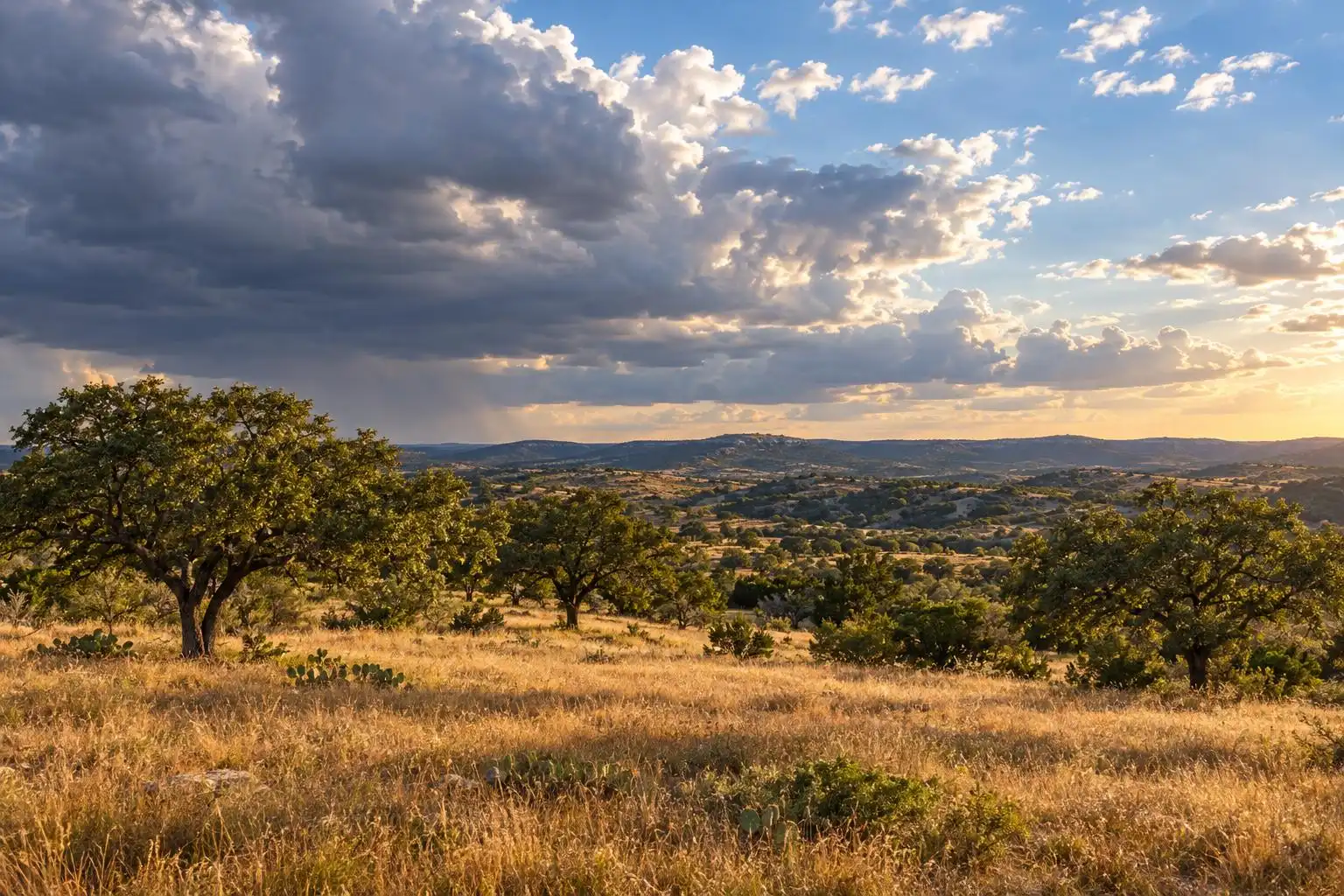
Humidity is not a fixed property of an air mass: relative humidity changes as the temperature rises and falls. Dew point gives you a steadier clue about how much moisture is actually in the air. Saturday’s readings describe a warm, fairly dry afternoon at one Austin station—not a temperature or humidity reading for every neighborhood in Central Texas.
Sunday is the transition, not the washout
The weekend outlook calls for a modest increase in cloud cover and humidity Sunday, with rain chances rising by early next week.[1] That does not mean you should expect a rainy Sunday at Zilker Park. It means the crispest part of this dry spell is likely behind us.
The change makes sense for Central Texas. When winds allow more Gulf moisture to return, mornings can feel muggier even before temperatures climb much. Clouds may also become more common ahead of the next opportunity for showers. For now, keep the outdoor plans; just check a fresh forecast before setting out later in the week.
Heat may make a midweek comeback
The National Weather Service’s Travis County forecast shows a much warmer Wednesday, October 14: highs in the mid-90s, a slight chance of afternoon showers and thunderstorms, and a possible peak heat index near 105°F.[6] That heat-index figure is a forecast upper-end reading, not a promise that every part of Austin will feel like 105.
For perspective, the Austin American-Statesman puts the city’s early-October average near 65°F in the morning and 86°F in the afternoon.[3] A mid-90s Wednesday would be notably hotter than a typical October afternoon. If you have outdoor work planned along the I-35 corridor, take advantage of the more comfortable part of the day and keep water handy.
Thursday brings the clearest rain opportunity
Thursday’s Travis County forecast calls for highs around 90°F and a 40% chance of rain, with a chance of afternoon showers and a slight chance of thunderstorms. Friday trends cooler, with highs in the mid-80s and a slight chance of showers.[6] Those are county-level forecasts; rainfall timing and amounts at a particular address remain uncertain.
This is worth watching, but it is not yet a reason to count on meaningful rain for a garden in Round Rock or a property west of Austin. An afternoon shower could interrupt one set of plans while another neighborhood stays dry. Check the latest National Weather Service forecast as Thursday approaches, especially if you’ll be driving or working outside.
The practical outlook
Enjoy Sunday’s outdoor window, but don’t pack away the summer habits just yet. Saturday’s Camp Mabry observation shows how easily Austin can still reach 90°F in October, and the current Travis County forecast points to a hotter Wednesday before rain chances improve Thursday.[6] In Central Texas, fall often arrives in installments. This week’s job is to enjoy the comfortable one—and stay ready for the next change.
References
- Austin weather: Will sunny, dry weather hold through the weekend in Central Texas? — https://www.yahoo.com/news/weather-news/articles/austin-weather-sunny-dry-weather-110000530.html
- Austin weather: Sunshine and near-average October temperatures — https://www.statesman.com/weather/article/austin-weather-fall-temperatures-sunshine-22462879.php
- Austin-Area Weather: October 10th Morning Forecast With Meteorologist Chase Franks — https://www.kvue.com/video/weather/forecast/austin-area-weather-october-10th-morning-forecast-with-meteorologist-chase-franks/269-6988dfe9-be9d-4f9c-96f2-febae1411d9a
- National Weather Service: Travis County Forecast and Austin Camp Mabry Conditions — https://forecast.weather.gov/MapClick.php?zoneid=TXZ192


Leave a Reply