

If you’ve stepped outside in midsummer Texas, you already know the story: heat, humidity, and that particular brand of summer misery where the air itself feels like a warm, wet blanket. But there’s a shift showing up in parts of the state — and knowing what’s coming can help you plan your week wisely.
The Big Picture: A Pattern in Flux
Parts of Texas are caught between competing forces right now. A stubborn ridge of high pressure has been baking the state, but a series of disturbances — one pushing north from the Gulf of Mexico and another frontal boundary working its way toward North Texas — are beginning to chip away at that dominance. The result? A brief window of storm chances before the heat reasserts itself.
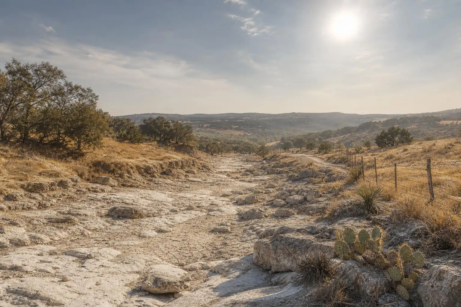
Saturday: Hot and Mostly Sunny
Saturday is a classic Texas summer day in North Texas — upper 90s, with feels-like temperatures reaching 101 to 105°F once you factor in the humidity.[1] Winds are light out of the south at 5 to 10 mph, which means there’s little relief from that direction — the Gulf moisture just keeps streaming in. If you’re planning outdoor activities in that area, the early morning hours are your best bet. By noon, the heat index is already punishing, and by mid-afternoon, it’s genuinely dangerous for prolonged exertion outdoors.
Stay hydrated, check on elderly neighbors, and don’t leave pets or children in parked vehicles — even briefly.
Sunday: Scattered Storms Move In
Sunday is where things get more interesting for North Texas. A frontal boundary approaching from the north will increase storm coverage there through the afternoon and especially into the evening.[1] The Storm Prediction Center has issued a Marginal Risk (Level 1 out of 5) for severe storms across North Texas, with gusty winds and heavy downpours as the primary hazards. In that North Texas forecast, flooding is a primary concern — even a 1–2 inch downpour in a short window can overwhelm low-water crossings and poorly drained roads.
Wherever storms develop, keep a close eye on conditions Sunday evening and remember: turn around, don’t drown.
The South Texas Angle: A Moisture Surge Worth Watching
Down in San Antonio and the South Texas corridor, a slightly different story has been unfolding. The Alamo City saw a remarkable wet spring — 19.84 inches of rainfall from April 1 through June 20, more than double the average of 8.74 inches for that period — followed by a jarring dry spell of at least 18 consecutive days with no measurable precipitation as of mid-week.[2]
That dry streak is about to get interrupted. A weak atmospheric disturbance tracking northward from the Gulf of Mexico is pushing a surge of tropical moisture into South-Central Texas, bringing scattered downpours from late Friday into Saturday, with slight rain chances continuing in the San Antonio area into early next week.[2] For the San Antonio area and South-Central Texas, this means a legitimate chance of beneficial rainfall after the recent dry stretch.
The key word here is scattered. These aren’t going to be widespread, soaking rains. Many locations will stay dry, but storms that do form may be capable of frequent lightning, gusty winds, and heavy tropical downpours with rainfall rates potentially exceeding 2 inches per hour. Because storms are expected to be isolated to scattered, the overall flood threat will remain low in the San Antonio-area forecast.[2]
Early Next Week: Brief Dip, Then Back to the Oven
Monday through Wednesday should bring a modest temperature dip in North Texas — we’re talking lower 90s rather than upper 90s — as the frontal boundary pushes through and cloud cover lingers.[1] Slight rain chances are expected to continue in the San Antonio area through at least Wednesday.[2] Don’t cancel your irrigation schedule just yet.
By the second half of the week in North Texas, high pressure rebuilds, the moisture gets squeezed out, and sunshine and temperatures flirting with triple digits are expected heading into the following weekend.[1] Earlier in the week, the heat-moisture combination in North Texas was expected to make temperatures feel as hot as the 100–105°F range.[3]
Your Texas Weather Takeaways This Week
Here’s what I want you to walk away with:
- Sunday evening storms are the real story in North Texas. If you have outdoor plans there, have a backup plan and keep your weather app open.
- Flooding risk is a North Texas concern in the cited forecast. For the San Antonio-area forecast, storms may produce heavy downpours, but the overall flood threat is expected to remain low.
- The heat isn’t going anywhere. This week’s storm chances are a brief interruption, not a pattern change. July in Texas is what it is, and 2026 is delivering a textbook version of it.
- San Antonio and South-Central Texas may see scattered tropical downpours, thanks to the Gulf moisture surge — but many locations may stay dry.
Stay cool out there, Texas. We’ll be watching those storm cells closely as Sunday approaches.
References
- Hot Saturday for North Texas with scattered storms possible Sunday — CBS News — https://www.cbsnews.com/texas/news/north-texas-dfw-forecast-weather-7-11-2026/
- Weather changes coming: Here’s when tropical downpours return to South Texas — Houston Chronicle — https://www.houstonchronicle.com/san-antonio-weather/forecast/article/storms-texas-gulf-tropical-rain-weather-22337842.php
- More 100-degree days for North Texas as rain chances remain slim to end week — CBS News — https://www.cbsnews.com/texas/video/more-100-degree-days-for-north-texas-as-rain-chances-remain-slim-to-end-week/


Leave a Reply